Laurel Highlands Trail Youghiogheny Overlook
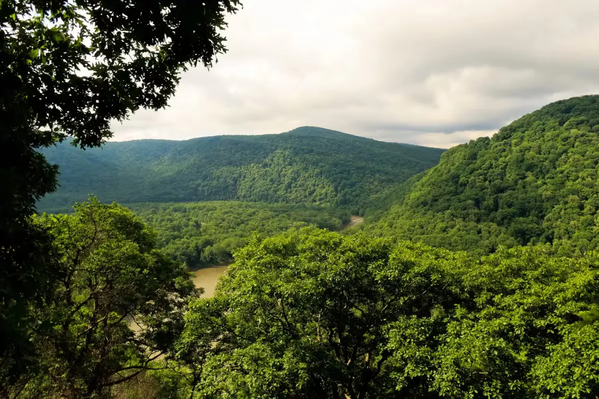
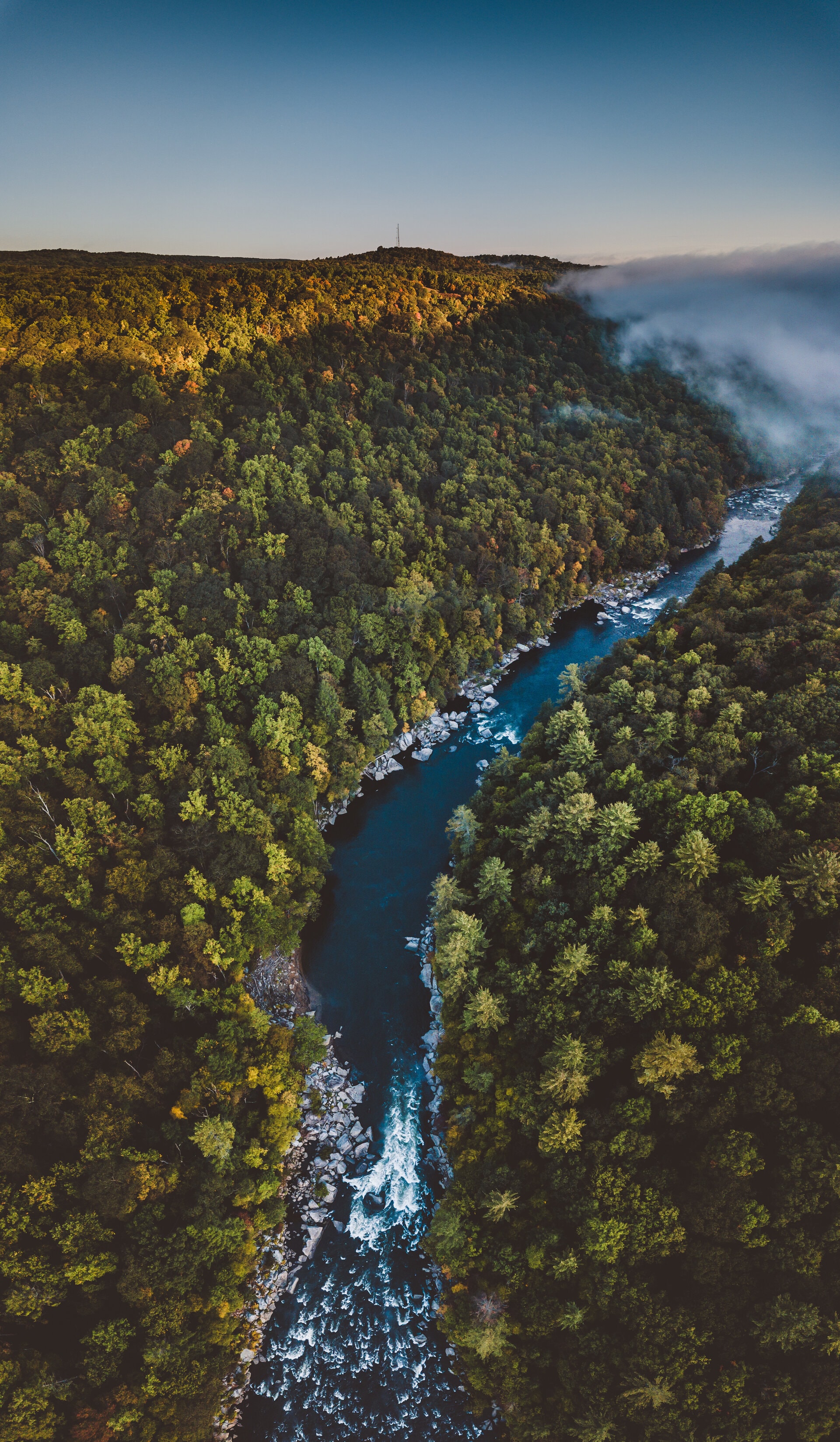
The Laurel Highlands Trail Youghiogheny Overlook rewards intrepid hikers with one of western Pennsylvania's most spectacular vistas, a panorama earned through significant effort. After ascending approximately one thousand feet from the Youghiogheny River valley floor, trekkers arrive at a distinctive flat-topped rock formation that serves as a natural observation platform. This elevated perch offers unparalleled views of a dramatic geological feature: a massive cleft in Laurel Ridge where the river navigates around a broad landform known locally as the Flats.
The perspective gained from this height provides a remarkable opportunity to understand the region's topography on a grand scale. From this vantage point, you can trace the river's journey as it cuts through the ancient mountain ridge, creating the stunning gorge that defines this landscape. The elevation difference between your position and the river below is striking, emphasizing the erosive power of water over geological time. The panoramic vista extends for miles, with forested ridges receding into the distance, creating a layered effect of progressively lighter blue-green hues.
The challenging hike to reach this overlook follows a section of the Laurel Highlands Hiking Trail, a 70-mile footpath that traverses the ridge of the Laurel Mountains. This well-maintained trail features yellow blazes marking the route through diverse forest ecosystems that change subtly with elevation. The journey itself offers numerous botanical points of interest, with spring wildflowers, summer ferns, autumn foliage, or winter ice formations depending on when you visit. Wildlife sightings are common along this less-traveled section of trail.
For dedicated hikers, this overlook represents one of the park's premier destinations, combining physical challenge with exceptional natural beauty. The relative difficulty in accessing this viewpoint means it rarely experiences overcrowding, offering a sense of solitude and connection with the landscape that's increasingly rare in more accessible areas. The substantial elevation gain provides an excellent cardiovascular workout, while the remarkable vista creates a powerful sense of accomplishment upon arrival.
Visitor Tips:
- Allow at least 4 hours total for the round-trip hike
- Carry sufficient water - at least 2 liters per person
- Wear sturdy hiking boots with ankle support
- Consider trekking poles for the steep sections
- Pack lunch or substantial snacks to enjoy at the overlook
Safety Considerations:
This hike involves substantial elevation gain and requires good physical condition. The trail includes steep sections with uneven terrain, loose rocks, and exposed roots that can create tripping hazards. Weather conditions at the ridge top can differ significantly from the valley, with stronger winds and potentially rapid changes in conditions. Cell phone reception is limited or non-existent in many sections of the trail. Always inform someone of your hiking plans, including expected return time. Carry essential safety items including extra layers, first aid supplies, a map, and a headlamp in case your return is delayed. During summer months, be vigilant for signs of heat exhaustion, and in winter, be prepared for significantly colder temperatures at higher elevations.