How to Get to Ohiopyle State Park
How to Get to Ohiopyle State Park: A Comprehensive Guide
Ohiopyle State Park, in the scenic Laurel Highlands of Pennsylvania, is a destination for hikers, paddlers and families. Getting to Ohiopyle is easy with the right directions. In this guide, we’ll cover everything you need to know about how to get to Ohiopyle State Park, from various locations including the PA Turnpike, Washington, D.C., and nearby West Virginia.
Directions to Ohiopyle State Park
From the PA Turnpike (I-76)
If you’re traveling from the Pennsylvania Turnpike, follow these simple directions:
- Take Exit 91, Donegal.
- Turn left onto PA 31 east and continue for about 2 miles.
- Turn right onto PA 711 and PA 381 south.
- Travel 10 miles to Normalville, then turn left onto PA 381 south.
- Drive for another 11 miles, and you will arrive at Ohiopyle State Park.
From Washington, D.C. (via I-270 North and I-70 West)
Traveling from Washington, D.C.? Follow these steps to get to Ohiopyle:
- Take I-270 north to Frederick, MD.
- Merge onto I-70 west toward Hancock, MD.
- Follow Route 40 and I-68 through Cumberland.
- Take Exit 14 (Keysers Ridge) to Route 40 west towards Farmington, PA.
- Turn right onto PA 381 north for 8 miles, which will lead you directly to Ohiopyle.
From West Virginia (via I-79 North and I-68 East)
Traveling from West Virginia? Follow these directions to get to Ohiopyle:
- Head north on I-79 to I-68 east.
- Take the Bruceton Mills Exit and follow Route 26 north, which becomes PA 281 north once you cross into Pennsylvania.
- Turn left onto PA 40 west, heading toward Farmington.
- Turn right onto PA 381 north to reach Ohiopyle State Park.
Special Directions for Large RVs to Kentuck Campground
For those traveling in large RVs, SR 2019 is too steep and should be avoided. Instead, follow these directions:
- Take PA 40 to SR 2010 (Chalk Hill-Ohiopyle Rd).
- Follow this road for about 8 miles to a stop sign, and proceed straight ahead to Kentuck Campground.
GPS Coordinates for Ohiopyle State Park
For those relying on GPS for navigation, you can use the following coordinates to guide you directly to Ohiopyle State Park:
- Latitude: 39.86813
- Longitude: -79.4943
Alternatively, use 124 Main Street, Ohiopyle, PA 15470 as the address to reach the park’s central area.
Why Visit Ohiopyle State Park?
Ohiopyle State Park is known for its natural beauty and variety of outdoor activities. There's plenty to do.
Some of the park's highlights include:
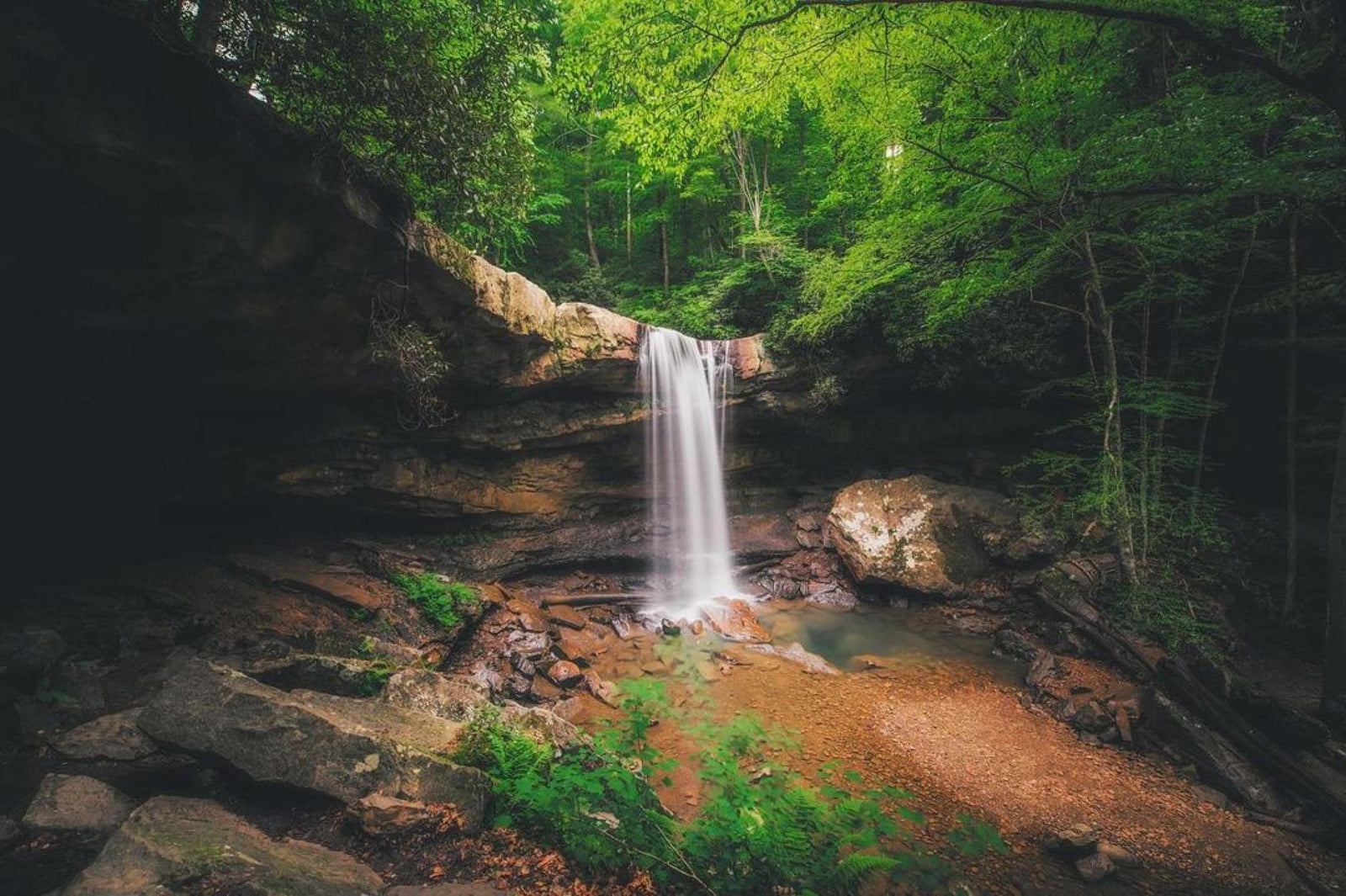
- Cucumber Falls: A waterfall perfect for a photo op.
- Great Allegheny Passage: A scenic biking trail that stretches over 150 miles.
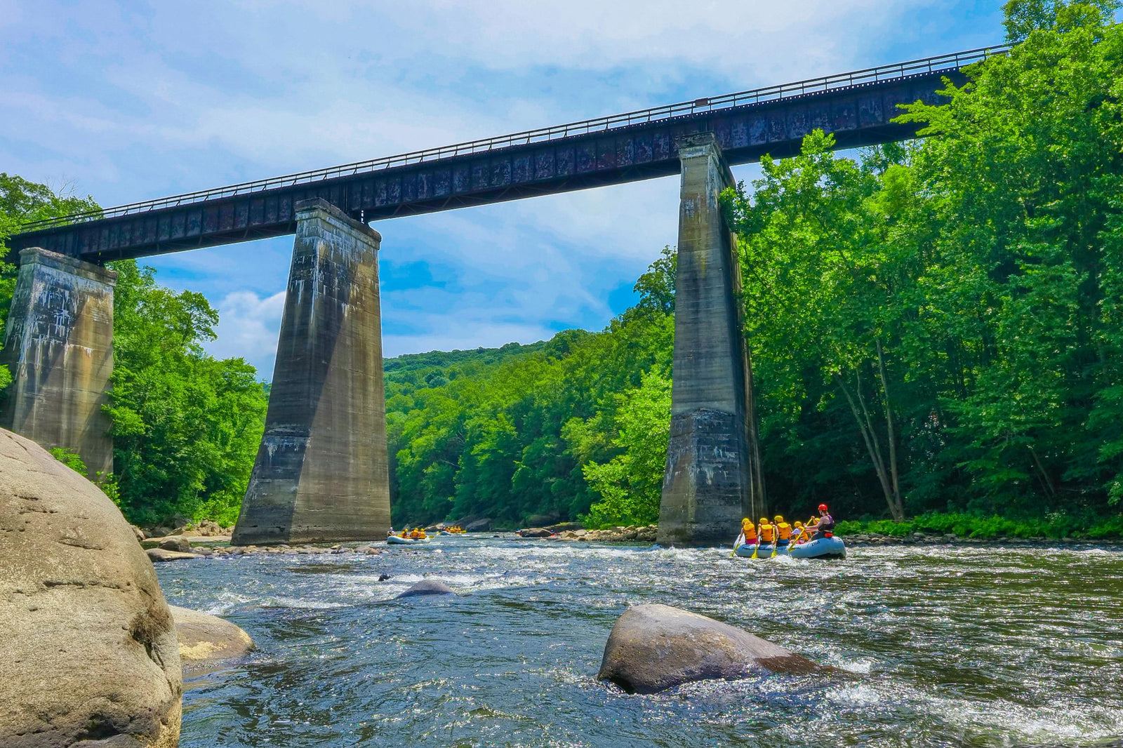
- Ohiopyle Falls: The park’s signature landmark, a popular spot for whitewater rafting.

Get Directions to Ohiopyle State Park Easily with Waze
To make your journey even easier, use Waze for real-time navigation and directions to Ohiopyle State Park. Simply click on the link below to open the map and start your trip: Get Directions to Ohiopyle State Park on Waze
Planning Your Trip to Ohiopyle
If you're planning to visit Ohiopyle State Park, we recommend checking for seasonal events and weather conditions before you head out. Spring and summer are ideal for hiking and water activities, while fall offers foliage views.
Get the checklist for this trip
Enter your email and the packing checklist and parking order for One Perfect Day in Ohiopyle open right here.
- What to pack, for this kind of day out
- Which lot to try first, and when each one fills
- The backup plan for high water or rain
One short email before busy weekends. River levels, closures, what's open. Unsubscribe in one click.