Detailed Information
Ohiopyle State Park is a hiker's paradise, featuring over 125 miles of trails to explore. Among the most popular is the Laurel Highlands Hiking Trail, a 70-mile point-to-point route that traverses the Laurel Highlands region of Pennsylvania.
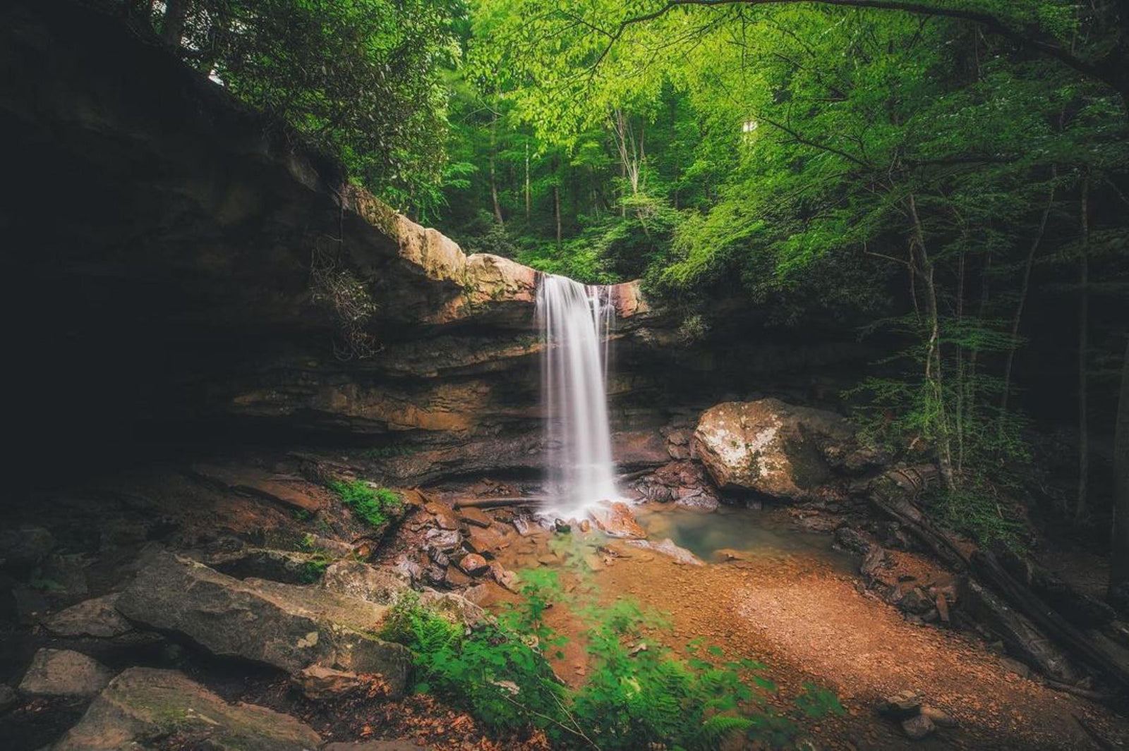
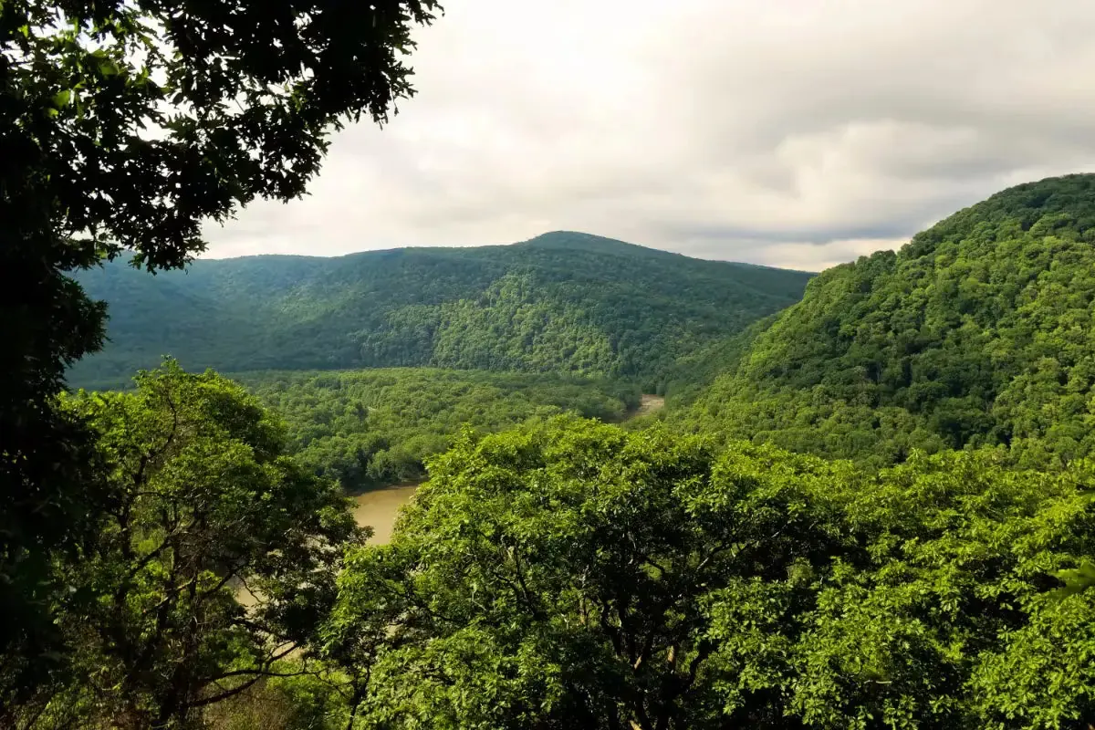
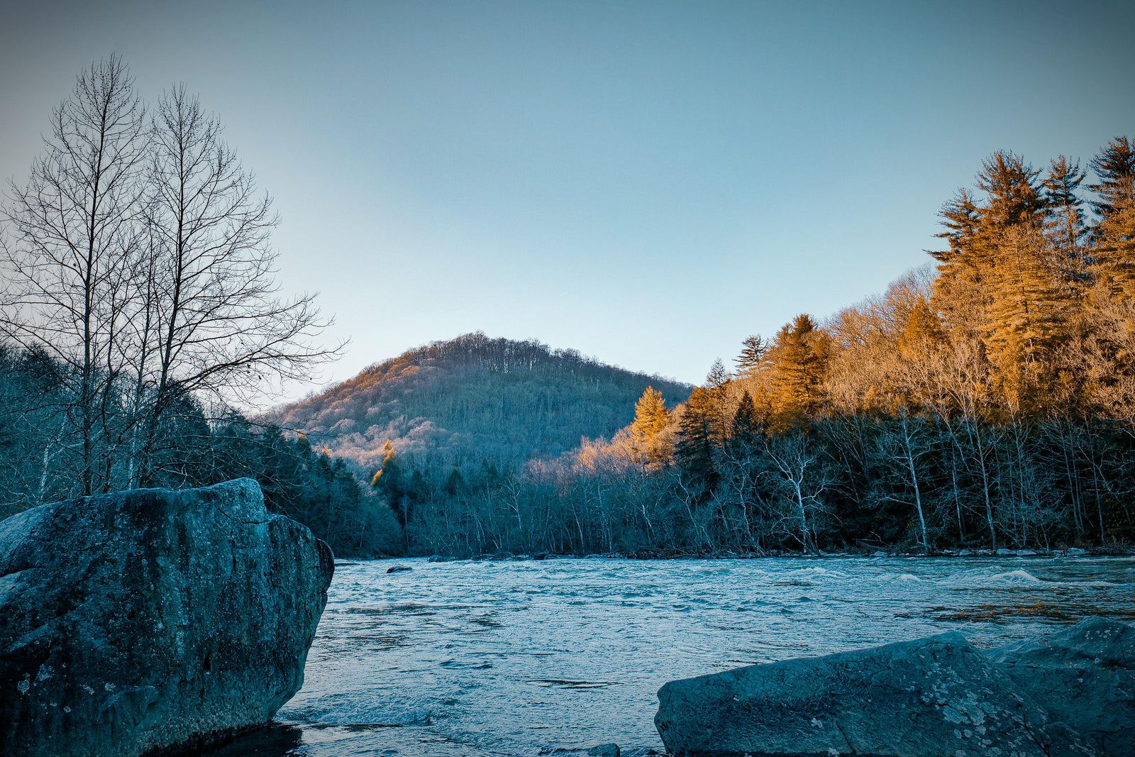
Starting in Confluence, Pennsylvania, and ending in Johnstown, the trail offers diverse landscapes, including forests, meadows, and mountains. Along the way, hikers are treated to views of the Youghiogheny River, Laurel Ridge, and the surrounding countryside.
The Laurel Highlands Hiking Trail is suitable for all skill levels, offering a range of trail segments from easy to challenging. Well-maintained and easy to follow, it’s an ideal trail for both novice and seasoned hikers alike.
Tips for Hiking the Laurel Highlands Hiking Trail:
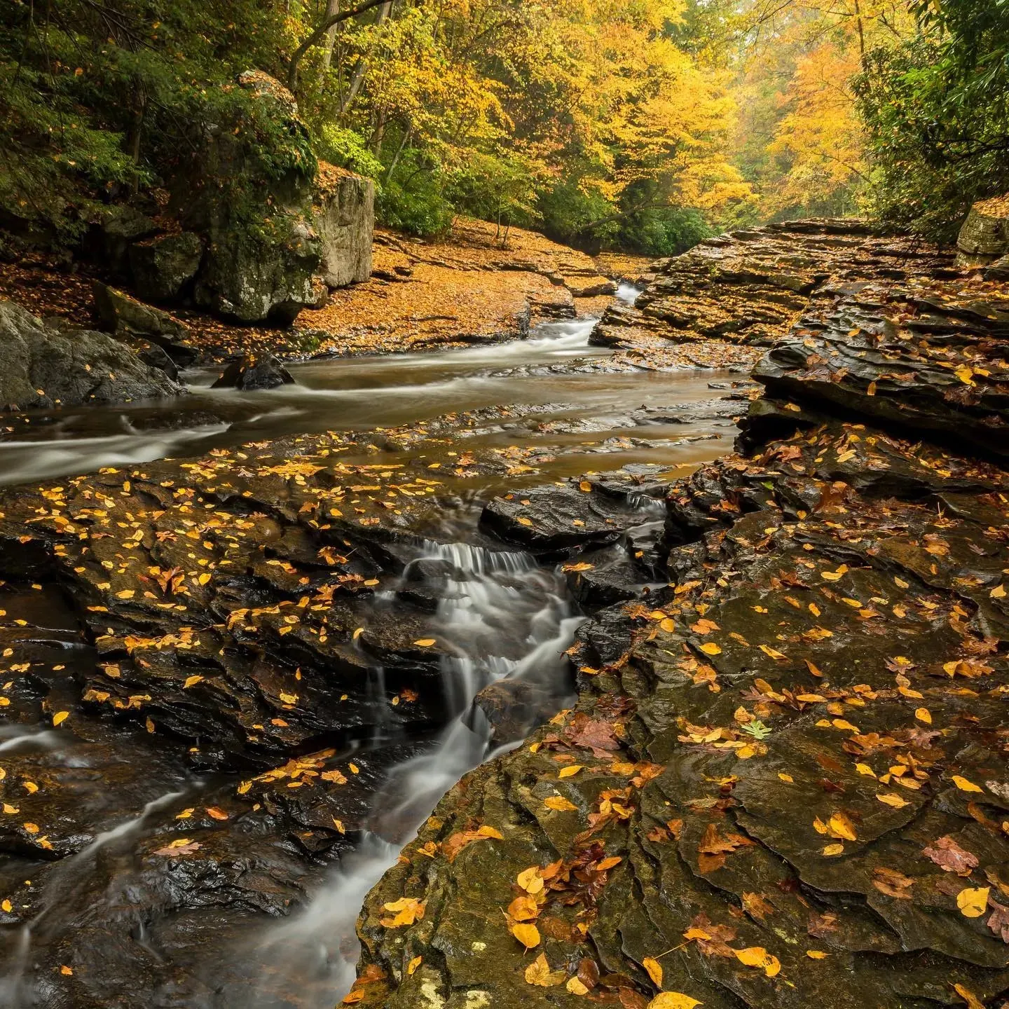
- The trail is open year-round, but expect muddy conditions in spring and fall.
- Wear sturdy hiking boots or shoes.
- Bring plenty of water and snacks to stay energized.
- Check the weather forecast and dress appropriately.
- Always inform someone of your plans and estimated return time.
The Laurel Highlands Hiking Trail offers a rewarding experience with views and lasting memories. Get out there and explore this trail!